
Why Mobile LiDAR?
Terrestrial scanning has been around for years, so it is tried and true. When it comes to laser scanning, it’s the first thing people think of. The downside? It’s slow. It takes hours on a job site to collect the data you need to finish the job, and hundreds, if not thousands of scans when it comes to a full project. This includes moving the tripod, setting it up in the perfect position, leveling it, then finally pushing go – hundreds of times throughout the day! What if you could just grab a scanner that could be held in your hand, push one button and start walking?
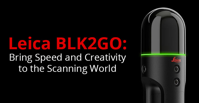
The BLK2GO is a handheld imaging laser scanner that creates a 3D point cloud as you walk through a space. It’s that simple. What normally would take a terrestrial scanner hours or even days to complete, you can complete with the BLK2GO in just a few minutes. No tripods, equipment or repeated setup. You just need the BLK2Go, an iPhone or Android to run the Leica BLK2Go Live App (gives you live 2D and 3D visual feedback) and the time to walk through a project.

The BLK2GO won the 2020 CES Best of Innovation Award
We took a terrestrial scanner and scanned a 10,000 square foot space, at 3 minutes per scan, which took us 4.5 hours to complete. That was over 85 scans. With the BLK2GO, the amount of time onsite is drastically cut down — it took us 10-15 minutes to scan the entire floor. Where you would normally scope days to get a job done, now you can get multiple jobs done within the same day or week.
Level of Accuracy
Terrestrial scanning is more accurate than mobile LiDAR scanning, which has more exhaustive data with a greater overall quality. With increased level of accuracy, it’s better for creating precise point clouds and virtual tours or walkthroughs. The BLK2GO is perfect for a quick scan and the flexibility is unmatched. It fits in areas where normal scanners cannot, and if you miss something, you can go back, re-scan it, and have the data you need.
If you don’t mind slight inaccuracy (a few millimeters), the BLK2GO is the perfect tool for the job. It is user-friendly and takes far less training to operate than your typical terrestrial scanner. The data it collects allows you to add assets (like photos) in geotagged locations within your datasets, just like you can with typical terrestrial scanners. It is the fastest and easiest way to scan a large building, structure or environment.
Conclusion
ATG is in partnership with Leica. We use the entire line of Leica laser scanners and provide training, software and hardware sales, and scanning services. Let us do the work for you with our reality capture production services!

Justin DeVore
Reality Capture Specialist
Certifications
Licensed Drone Pilot
About Justin
Justin has 18 years of experience in the AEC industry with a genuine passion for making things come to life and sharing
knowledge with others. He started using AutoCAD during high school and used that experience as a foundation for his career.
He has an associate degree in Architectural Design/Drafting and has used Autodesk products since 1997, starting with AutoCAD R12. Justin started working as a civil drafter before moving up to designer and managed a team of drafters. He later served as CAD and IT support for a large national firm. From residential subdivisions to large commercial centers, Justin has been involved in many types of civil and construction projects. He has spent a few years in the field working for a surveyor as well.
Stay Connected
Follow ATG for 24/7 access to top-notch technical content:
Have questions? Don’t hesitate to reach out!
- Contact us
- Call 1.800.935.4894
 Contact Us