Industry-leading laser scanning technology backed by ATG implementation, training, and support.

Ready to get started? Fill out our general contact form or request a quote or consultation below.

Scanning Hardware

BLK ARC

Autonomous laser scanner that can be mounted to a backpack or robot.
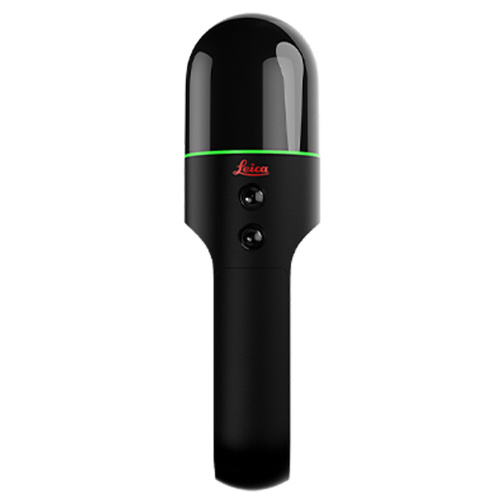
BLK2GO

Handheld imaging laser scanner that captures environments in 3D as you move.
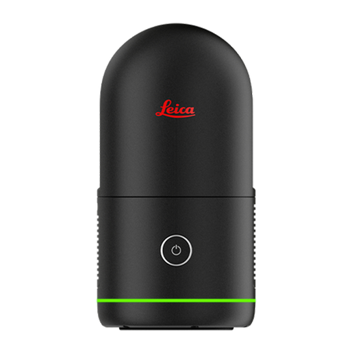
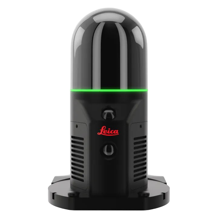
BLK360 G2

Tripod laser scanner that’s five times faster than the original G1. Smallest and lightest laser scanner available.
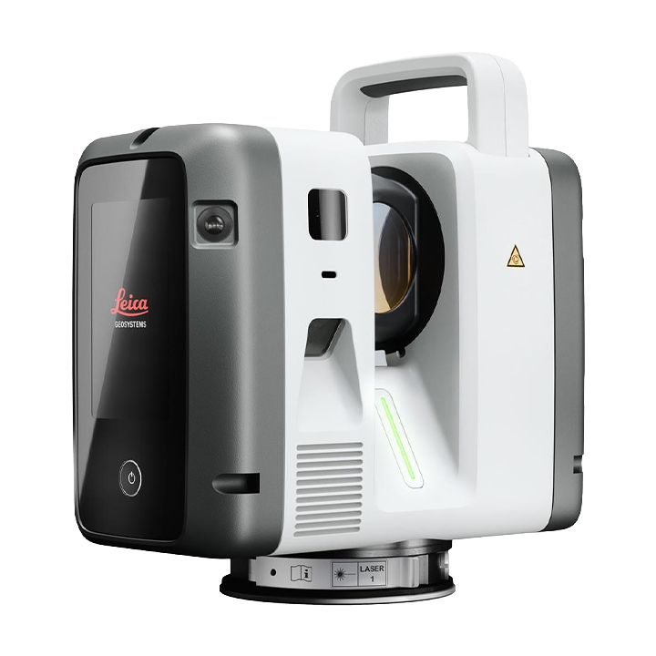
Three levels of performance • Livelink enabled

Leica RTC Series

RTC300 – Ideal for building construction and fast-moving project environments 

RTC500 – Balanced performance and operational flexibility for surveying, construction, public safety, and infrastructure teams. 

RTC700 – Built for large-scale infrastructure, industrial plant, and complex surveying environments 
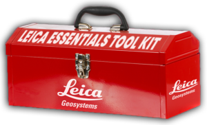
Get Started with Leica

Access support resources, training guides, and product documentation designed to help you maximize your reality capture investment in our Leica Essentials Kit. Click below to get started or troubleshoot your setup today.

Reality Capture Software

Leica Cyclone REGISTER 360 PLUS

Work smarter, deliver accurate results, visualize in more detail, and collaborate more effectively. From simple, guided workflows to automated registration, generate client-ready deliverables with the click of a button. Also available in a special BLK edition optimized for the BLK reality capture hardware family. 
Leica Cyclone FIELD 360 PLUS

Leica Cyclone FIELD 360 is the mobile companion app that connects every Leica Geosystems scanner to your office and cloud workflows, turning a handheld device into a powerful reality capture hub. Simple enough for first-time users. Powerful enough for the most demanding projects.

Hexagon GeoCloud

Secure, cloud-native collaboration platform that centralizes reality capture, survey, and geospatial data into a single workspace. It allows engineering, construction, and field teams to store, visualize, analyze, and share high-precision 3D models and project data in real time from anywhere.

Livelink

Livelink enables real-time field-to-office collaboration by streaming scan data through Cyclone FIELD 360 and Hexagon GeoCloud, even while data capture is still taking place on site. As each laser scanner captures, preview data is synced via a shared Livelink scene in Hexagon GeoCloud to every connected mobile device and to the office simultaneously. 


Available for the Leica RTC300, RTC500, and RTC700 laser scanners.

Leica Scanner Comparison

Feature
BLK ARC
BLK2GO
BLK360 G2
RTC300
RTC500
RTC700
Mobile Mapping
Autonomous Workflows
Tripod Scanning
BIM Integration
Construction QA/QC
Indoor Scanning
Outdoor Scanning
Limited
Large Project Documentation
Livelink Collaboration
Enterprise Workflows

Need Scanning Help, but not ready to purchase a scanner?

Let our team of Reality Capture specialists explain how our team can take on that work for you.

Get in touch

Let our team know if you would like to learn more about our solutions.

Give us a shout – we’re here to help!

Get in touch

Let our team know if you would like to learn more about our solutions.

Give us a shout – we’re here to help!

Request a Leica Scanner Quote