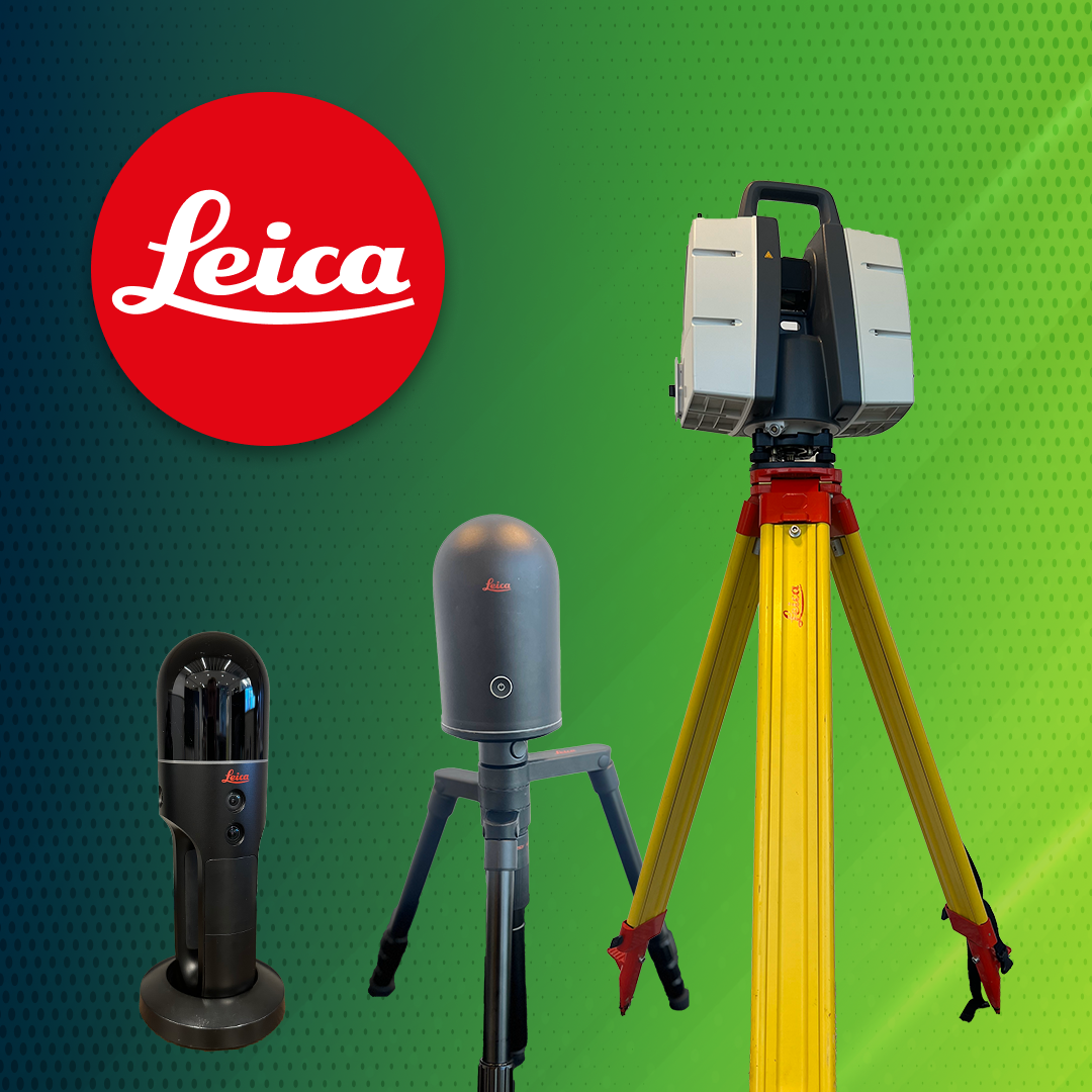
Reality Capture Services
Service | What you get: | Ideal for: | |
---|---|---|---|
Basic Laser Scanning | ATG travels to your site and captures scans, which are then processed into a point cloud for use in Revit/AutoCAD. | Anyone in the AEC industry that needs a quick, accurate and affordable way to capture existing conditions of any building. | |
Scan to BIM | ATG travels to your site and captures scans, which are then processed into a point cloud for use in Revit or AutoCAD. Then, ATG's modeling team converts the completed point cloud into a usable base model in Revit. | Anyone in the AEC industry that needs a model/drawing of a building's existing conditions built from point cloud data, but may not have the experience or the staff to do it themselves. | |
Scan Registration | An experienced ATG Reality Capture tech will take your raw scan data and process it into a completed point cloud per your specifications. | Anyone doing laser scanning that is inexperienced or short staffed. | |
Hardware + Software | As a premier reseller of Leica laser scanners and the exclusive provider of BIMBOX, ATG can provide everything you need to start scanning your own projects.
![]() |
Anyone in the AEC industry that wants to explore the idea of scanning and processing their own projects. | |
Hardware + Software with Guaranteed Success Program | Upon receiving your scanner, an ATG Reality Capture tech will schedule an on-site training to walk you through how to use your new equipment on an actual project. | Anyone who wants to successfully implement a reality capture department and/or workflow in their organization. |

Speaking of time savings...
Reality Capture drastically reduces time on every project…but don’t stop there! BIMBOX computers have been optimized for AEC software, with models like the Osprey designed specifically for maximum Reality Capture productivity. Learn more here!
Reality Capture Team

Scott Pruitt
Director of Reality Capture

Jeff Landers
Sr. Reality Capture Specialist

Jody Beavers
Reality Capture Specialist

Nathan Martin
Reality Capture Specialist
Reality Capture Resources

Laser Scanning for Beginners
Laser scanning may seem intimidating, but we can help you succeed outside your comfort zone! Read on to learn how and where to set up a laser scanner + register points with Leica Cyclone Register 360 on an iPad.

Using Reality Capture to Map Building Structure
The usage of point cloud data is becoming widely popular in the AEC industry. Most of the time we see scanning being used for renovation projects or the historical preservation of structures, however, this technology can also be used to record a structure’s underlined...

Using Targets for Laser Scanning
Many operations that require real-world coordinates still rely on targets, brass caps and nails. These operations mostly work with civil applications, but for applications for the AEC world, the use of targets has fallen due to recent progressions in modern laser...

How Small Trades Can Win Big Using Laser Scanners
Why are laser scanners becoming more popular on job sites? Remove all the technical jargon and big words, and laser scanners are simply a tool used to take fast, accurate measurements of objects or structures. Room dimensions, ft², window and door size/locations,...

5 Ways Laser Scanning Can Improve Your Next Construction Project
Are you still using the archaic phrase, “if it ain’t broke don’t fix it” when it comes to adopting new technology in construction? Construction has been around for a while, and it is quite literally a building block of our society. While our society is advancing to a...

5 Reasons to Consider Leica Cyclone Enterprise
Leica Cyclone Enterprise is a user-managed project and data management solution for the reality capture world. It encompasses the already great Leica Jetstream software and technology to make a simplified, enterprise-level management and collaboration platform.The new...
David has a master’s degree in Geographic Information Systems and several undergraduate degrees. He has been using UAV and LiDAR technologies since 2014 when he began working as a field asset data collector. Within a year, he had developed that role into establishing a GIS department, an integral part of the company’s operations. David has performed reality capture services all over the country, successfully collecting, processing, manipulating and exporting the desired project deliverables.
Pix4Dmapper
FAA Part 107 Commercial UAV Pilots License
Working on several special projects that required unique deliverables, Jhan was introduced to laser scanners in 2016 and designed several work pipelines using point cloud data. He has taken high-detail scans and converted those environments into mesh, allowing less powerful machines to view the data. Jhan also can embed point clouds into a game environment to easily share data, and he has even broadcasted entire sites and used them in developing technologies such as augmented reality.
“I believe reality capture and the development of using digital twins is very important, as this technology helps us mitigate costly mistakes, improves site safety and gives us better methods to preserve site data for both construction and historical purposes.”