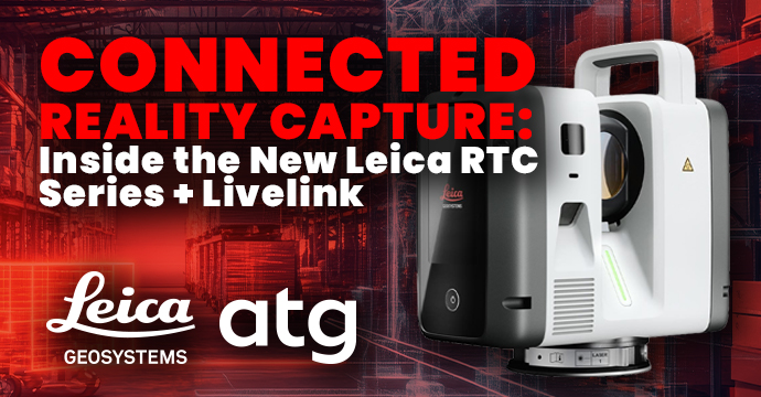
Connected Reality Capture: Inside the New Leica RTC Series + Livelink
When organizations evaluate a new laser scanner, the primary focus is almost always on purchase price. But if you ask any reality capture or surveying team, they’ll tell you that the true cost lies elsewhere in the form of labor, travel, project delays, and rework caused by missing data.
As reality capture technology and workflows become increasingly common, businesses now face the challenge of effectively utilizing and scaling the technology.
That’s where Leica’s new RTC series laser scanners come in.
With a unified platform, real-time connectivity, and powerful data capture capabilities, the Leica RTCs are changing how field and office teams operate and scale their technology.
The True Cost of Slow Scanning
In the past, high-resolution scanning meant long waits on-site. When comparing hardware like the Trimble X9 or FARO Premium to the new Leica lineup, the productivity gaps in scan times are massive.
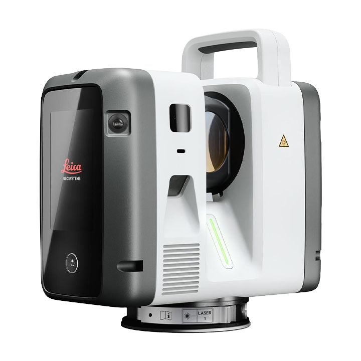
Leica RTC700
Resolution Scan Times
1.6mm — 7 min 18 sec
3mm — 2 min 12 sec
6mm — 1 min 21 sec
12mm — 56 sec
25mm — 43 sec
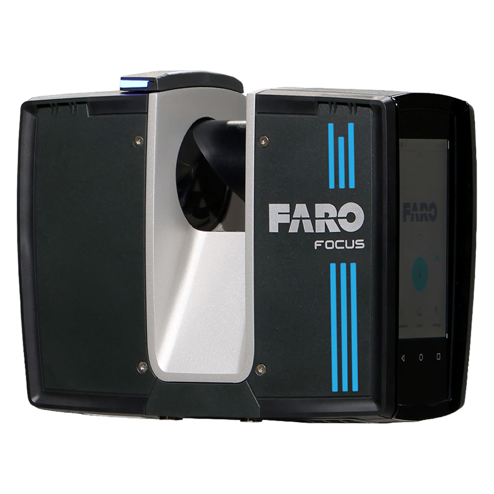
FARO Premium
Resolution Scan Times
1.6mm — Not Available
3mm — 10 min 31 sec
6mm — 5 min 09 sec
12mm — 3 min 48 sec
25mm — Not Available
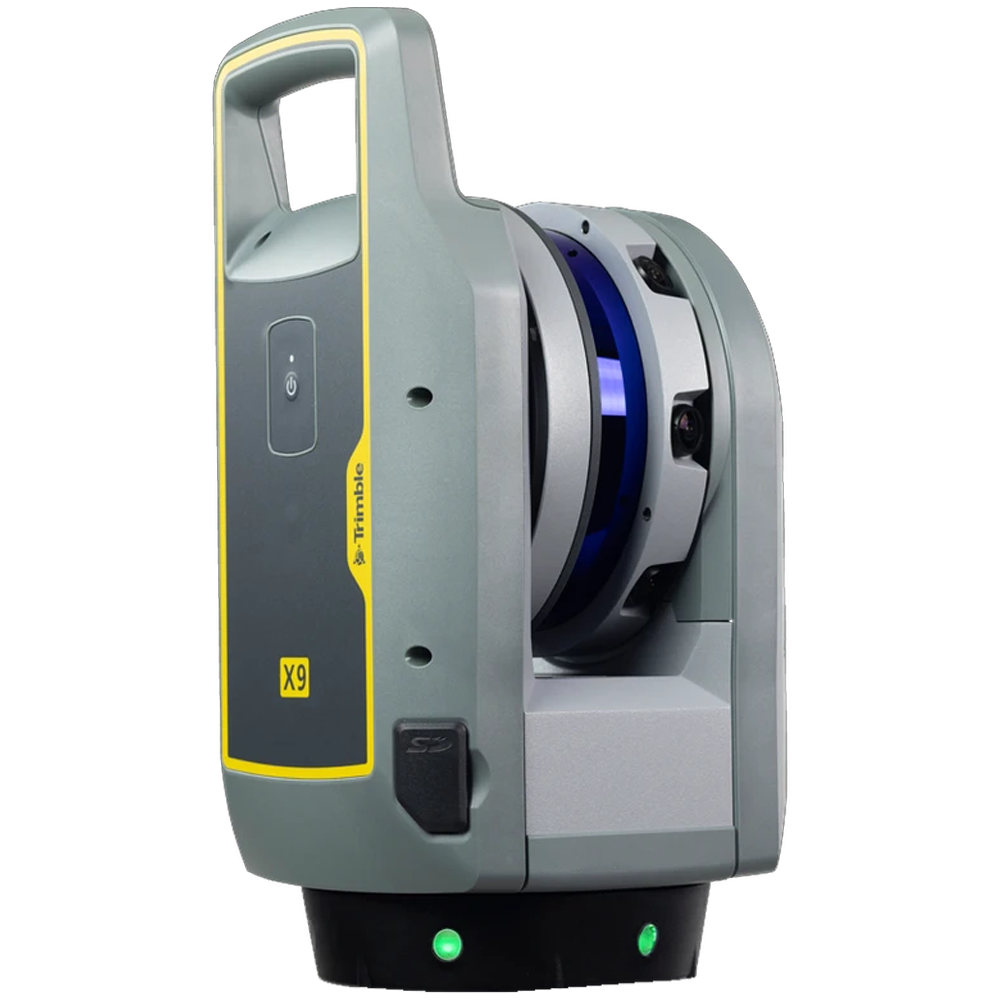
Trimble x9
Resolution Scan Times
1.6mm — Not Available
3mm — 11 min 36 sec
6mm — 9 min 33 sec
12mm — 7 min 27 sec
25mm — Not Available
These performance differences can significantly impact project schedules and labor costs. Faster scanning means:
- More setup locations completed daily
- Reduced field crew costs
- Faster completion of deliverables
- Improved utilization of personnel
Meet the New Unified Platform
Rather than maintaining disconnected devices, Leica has introduced a scalable ecosystem where organizations can choose the exact performance tier they need without changing their core workflows or software investments:
- Leica RTC300: Built specifically for building construction, interior fit-outs, existing conditions documentation, and BIM workflows, offering an 85m range and up to 1 million points per second.
- Leica RTC500: The versatile middle tier ideal for general construction, complex sites, and public safety applications, vastly outperforming older units like the RTC360 (cutting 12 mm scan times down to just 56 seconds).
- Leica RTC700: The heavy hitter designed for large-scale infrastructure, surveying, transportation, rail, industrial facilities, and energy projects, delivering a 270m range, 1.6 mm resolution at 10m, and a 72 MP imaging system.
Leica Livelink: Connect Field and Office Teams in Real-Time
Every scanning professional knows the sinking feeling of returning to the office, opening up the scan data, and realizing a critical area was missed or obscured. Historically, that meant scheduling a return visit, paying for extra travel and labor, and delaying project delivery.
Leica Livelink changes the game completely.
Through Cyclone FIELD 360, scan data streams in real-time from the field directly into Hexagon GeoCloud, establishing a connected workflow between field and office teams.
Verify coverage on the fly
Office teams can review incoming data immediately to ensure complete coverage before the crew packs up and leaves the site.
Identify gaps instantly
Catching missing data points or occlusion zones immediately eliminates costly return visits to the job site.
Accelerate project delivery
Streamlined QA/QC loops mean downstream engineers and designers can start working with clean data sooner.
Conclusion
The Leica RTC Series redefines what it means to be efficient in reality capture with lightning-fast capture rates, scalable performance tiers, and real-time Livelink collaboration. By addressing the five hidden costs of scanning (excess labor, project delays, lost capacity, return visits, and competitive lag), these tools help firms deliver projects faster, minimize risk, and drastically improve profitability.
How ATG Helps You Implement Reality Capture
Adopting reality capture technology requires more than buying hardware. At ATG, we help organizations successfully implement advanced scanning solutions from start to finish:
- Customized Implementation & Protocols: We tailor workflows around your specific jobsite conditions, safety protocols, and operational goals.
- Software & Systems Integration: Raw point cloud data is only useful when actionable. ATG helps integrate scan data into your existing BIM, CAD, and asset management platforms to eliminate data silos.
- Hardware Ecosystem Strategy: We help you build the right toolset based on how you work, taking your project size, time on site, and other factors into consideration to recommend the right hardware for the job.
- Ongoing Training & Support: From initial evaluation and live demonstrations to team training, ATG provides continuous support to maximize your investment.
Need Reality Capture hardware that scales?
Whether you are upgrading from legacy hardware like the RTC360 or expanding your fleet for larger projects, the future of reality capture is connected, fast, and scalable.
Reach out to the ATG team today for a free consultation and demo – we take the time to understand how you work and provide a recommendation based on your needs.