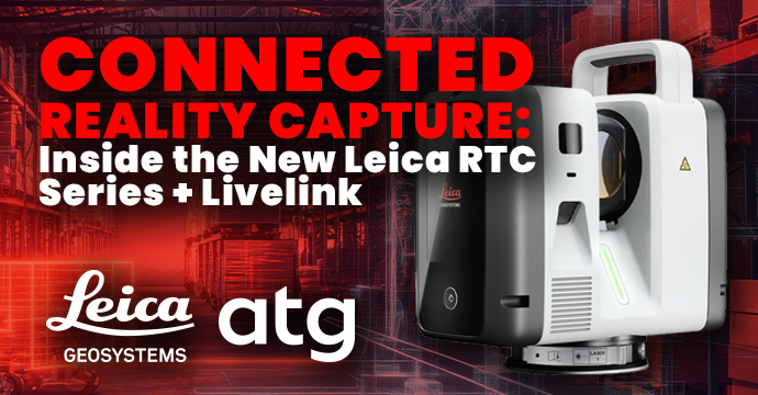
How Accurate Is the Leica RTC Series? Breaking Down the Specs Behind the 35% Claim
“35% more accurate than the nearest competitor”
It’s a claim that’s easy to skim past, but accuracy claims in reality capture aren’t abstract. They translate directly into whether an RFI is filed, whether a change order is issued, and whether your team gets sent back to the site to recapture data that should have been right the first time.
Here’s what the RTC Series’ accuracy specs actually mean, and why they’re worth understanding before you compare scanners on price alone. In other words, accuracy is where data integrity starts, and where costly rework is either prevented or set in motion.
Baseline Accuracy
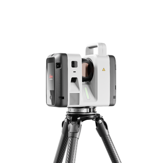
Every scanner in the RTC Series: RTC300, RTC500, and RTC700 all deliver 1.2 mm + 10 ppm range accuracy and 10″ angular accuracy as the baseline, not as a best-case number under lab conditions. That’s the number your team can plan around on every scan, not just the ones that go perfectly.
Independent testing puts that baseline up to 35% more accurate than the nearest competing scanner in its class, a gap that compounds across a multi-scan project where small per-scan errors stack into larger registration drift.
Where the RTC700 Pushes Further
For surveying, industrial plant, and infrastructure work, the RTC700 goes beyond the series baseline: 1.6 mm resolution at 10 m, and 0.8 mm in Area Scan mode.
That level of resolution is what separates “good enough for a walkthrough” data from data that can support engineering-grade deliverables, as-builts that hold up under review, clash detection that catches real conflicts instead of noise, and survey deliverables that meet contract tolerances without a caveat.
What “Good Enough” Data Actually Costs
The cost of a missed tolerance rarely shows up as a line item labeled “scanner accuracy.” It shows up as an RFI that takes two weeks to resolve. A change order because an as-built didn’t match field conditions. A crew sent back to a site incurs travel time, setup time, and a second round of registration, all because a gap wasn’t caught until the office team started modeling.
Each of those costs more than the accuracy premium on the scanner that would have prevented them. Accuracy isn’t the cautious purchasing decision; on a project timeline, it’s usually the cheaper one. Protecting data integrity at capture is how you eliminate that rework downstream.
How to Evaluate Accuracy Claims When Comparing Scanners
Not all accuracy specs are reported the same way. When comparing scanners, look for three things:
- The range accuracy figure is a baseline across the full range or a best-case number at a specific short distance.
- Angular accuracy is reported separately (it compounds differently than range accuracy on multi-station projects).
- The number comes from independent testing or from the manufacturer’s own lab under ideal conditions.
The RTC Series’ 35% figure is drawn from independent testing against named competitors, not a marketing estimate.
A Realistic Example: Accuracy on a Multi-Story Retrofit
Consider a multi-story renovation project where an as-built survey feeds directly into MEP coordination. A scanner reporting a best-case accuracy figure under lab conditions might perform close to spec on a single clean setup near the scanner, but drift on stations further from that ideal range, with exact setups that happen on real floor plates with columns, furniture, and irregular sightlines. A baseline accuracy figure that holds across the full working range, like the RTC Series’ 1.2 mm + 10 ppm, gives a coordination team confidence that every station in a multi-scan registration contributes reliable data, not just the easiest ones.
On a project like this, the practical payoff of tighter baseline accuracy is fewer clash-detection false positives during MEP coordination, the model reflects the field, not the field plus a margin of scanner error the team has to mentally account for.
The Compounding Effect Across a Multi-Scan Project
A single scan’s accuracy number understates the real stakes on any project that needs multiple registered setups. Small per-station errors in both range and angular accuracy don’t just add up linearly across a registration chain, they compound, because each new station’s position is calculated relative to the ones before it. A scanner with a meaningfully tighter angular accuracy baseline holds that compounding in check across a 20- or 30-station project in a way that becomes far more visible than it would on a single-setup comparison.
Frequently Asked Questions
What is range accuracy vs. angular accuracy, and why do both matter?
Range accuracy measures how precisely the scanner locates a point along its line of sight; angular accuracy measures how precisely it locates that point’s direction. On a multi-scan project, small angular errors compound across setups, so both numbers matter for how well individual scans register into one accurate model.
Does the RTC300 or RTC500 sacrifice accuracy for speed?
No, all three tiers share the same 1.2 mm + 10 ppm baseline. The tiers differ in range and points-per-second, not in the underlying accuracy of each measurement.
How is the 35% accuracy claim verified?
It comes from independent testing comparing the RTC Series against named competing scanners, not from Leica’s own marketing estimates. See the Proof Points reference in the full campaign plan for sourcing.
How ATG Helps You Implement Reality Capture
Adopting reality capture technology requires more than buying hardware. At ATG, we help organizations successfully implement advanced scanning solutions from start to finish:
- Customized Implementation & Protocols: We tailor workflows around your specific jobsite conditions, safety protocols, and operational goals.
- Software & Systems Integration: Raw point cloud data is only useful when actionable. ATG helps integrate scan data into your existing BIM, CAD, and asset management platforms to eliminate data silos.
- Hardware Ecosystem Strategy: We help you build the right toolset based on how you work, taking your project size, time on site, and other factors into consideration to recommend the right hardware for the job.
- Ongoing Training & Support: From initial evaluation and live demonstrations to team training, ATG provides continuous support to maximize your investment.
Need Reality Capture hardware that scales?
Whether you are upgrading from legacy hardware like the RTC360 or expanding your fleet for larger projects, the future of reality capture is connected, fast, and scalable.
Reach out to the ATG team today for a free consultation and demo – we take the time to understand your accuracy requirements and provide a recommendation based on your needs.