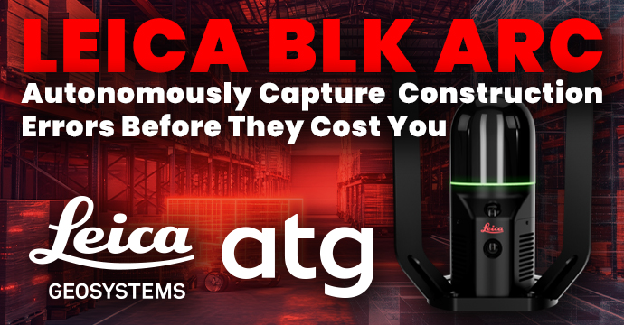
Leica BLK ARC: Autonomously Capture Construction Errors Before They Cost You
Stop costly construction rework. Learn how autonomous scanning with the Leica BLK ARC delivers high-accuracy 3D data without interrupting site work.
Changes on a construction site often start at a microscopic scale. A small foundational shift or alignment deviation can go unnoticed and bring projects to a halt. By the time these issues become visible, they have already cost thousands in rework, weeks in delays, and endless friction during handoffs.
Modern technology such as static laser scanners can capture these issues before they become problems, but effective implementation requires periodic data capture across the project’s lifecycle — a process that’s not always a realistic workflow due to the labor and time required to execute.
To break this cycle, teams have started turning to autonomous reality capture workflows powered by the Leica BLK ARC.
What is the Leica BLK ARC?
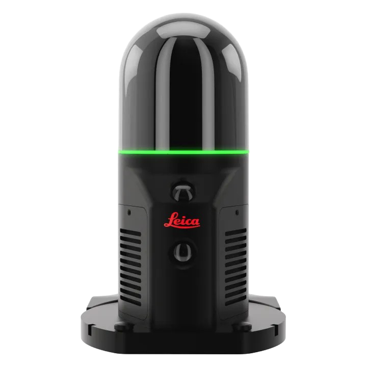
The Leica BLK ARC is a compact autonomous laser scanner that can capture point clouds in a single continuous pass. Unlike traditional stationary scanners, it can be mounted on a backpack or robot (like Boston Dynamics’ Spot) for hands-free data capture.
No tripod. No repeated setups. No waiting. Just walk and scan!
- Spend less time on the jobsite – Quickly capture dense, complete point clouds at 420,000 points per second as you move.
- Gather data remotely – Chart your scan path using existing drawings or BIM models and then deploy your robot to complete data capture autonomously.
- Capture accurate data – Capture every detail the first time with indoor accuracy of +/- 10 mm and a 360° horizontal / 270° vertical field of view.
- Access data across your tools – Plug your data directly into Leica Cyclone, Hexagon GeoCloud, Reality Cloud Studio, and your existing BIM tools, so you don’t have to worry about complex integrations.
Who is the Leica BLK ARC for?
The BLK ARC is built for project managers, VDC directors, operations leaders, safety managers, and those who need to capture frequent, high-accuracy 3D data across complex environments.
- Architecture, Engineering & Construction: Track progress updates, perform frequent as-built verification, and capture deviations early during construction.
- Large Facility & Operations Management: Document structural conditions, manage dynamic site changes, and build accurate digital twins over time.
- Infrastructure & Energy Sector: Conduct non-contact inspections across large sites, substations, or pipeline networks where access is restricted or hazardous.
- Specialized & Hazardous Environments: Map tight, elevated, or potentially unsafe areas without sending human surveyors into harm’s way.
See the Leica BLK ARC in Action
Outdoor Plaza
Scan Time: 10 minutes
Density Setting: Medium
Shop
Scan Time: 7 minutes
Density Setting: Low
C-130 Aircraft
Scan Time: 5 minutes
Density Setting: Medium
Why Autonomous Reality Capture?
Proactive Monitoring Over Reactive Fixes
Waiting for physical errors to become obvious leads to expensive rework and downtime. The BLK ARC turns scan data into a continuous tracking system. By comparing real-time scans against design models, drawings, or baseline conditions, teams can identify structural variances or drifts before they cause delays.
Uninterrupted Workflow & Productivity
Stopping work to capture data costs time and money. Autonomous scanning allows teams to document sites during off-hours, breaks, or alongside ongoing operations. Mobile platforms execute scheduled scanning routines automatically, giving teams updated data when they need it.
Safety-First Site Documentation
Field teams frequently face elevated risks when surveying tight spaces, active sites, or hazardous zones. Deploying the BLK ARC on a mobile robot keeps teams at a safe distance while ensuring complete, reliable data coverage.
Audit-Ready Progress & Compliance
Clear, time-stamped records protect projects against disputes and non-compliance. The BLK ARC generates precise, millimeter-accurate documentation automatically, giving stakeholders verifiable proof of site conditions at every project phase.
How ATG Helps You Implement Autonomous Scanning
Adopting autonomous technology requires more than buying hardware. At ATG, we help organizations successfully implement advanced scanning technology from start to finish:
- Customized Implementation & Protocols: We tailor workflows around your specific jobsite conditions, safety protocols, and operational goals.
- Software & Systems Integration: Raw point cloud data is only useful when actionable. ATG helps integrate scan data into your existing BIM, CAD, and asset management platforms to eliminate data silos.
- Hardware Ecosystem Strategy: We help you build the right toolset based on how you work, taking your project size, time on site, and other factors into consideration to recommend the right hardware for the job.
- Ongoing Training & Support: From initial evaluation and live demonstrations to team training, ATG provides continuous support to maximize your investment.
Ready to Upgrade Your Reality Capture Strategy?
Don’t wait for minor site errors to become major project delays.
Contact the ATG team today to schedule a consultation and explore how the Leica BLK ARC can transform your site documentation workflows.