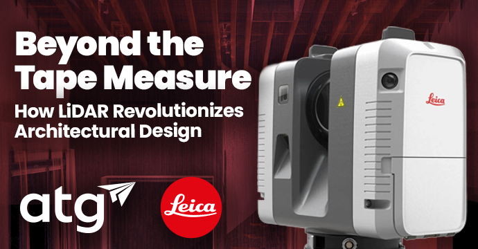
For Architects that strive for precise data and efficient delivery, the challenges of site data collection are all too familiar. Hand-measuring over several days, repeated site visits, inaccurate data — Just imagine eliminating those frustrations, minimizing rework and costs, saying goodbye to manual measuring, and effortlessly creating a solid foundation for every design. 3D LiDAR scanning offers just that — a revolutionary approach to capturing site data that empowers architects to design with confidence.
This blog explores the benefits of LiDAR scanning, why it’s becoming an essential tool for Architects, and real-world applications across various project types.
3D LiDAR Scanning: The Easy Button for Data Collection
Effortless Data Capture: Instantly capture full as-built 3D models of a building or site, eliminating the need for multiple site visits or manual tape measures.
The LiDAR Advantage: One complete jobsite scan yields a detailed and accurate 3D point cloud that can be directly imported into design/BIM tools.
Top 5 Benefits of Using 3D LiDAR Scanners
Unmatched Accuracy
LiDAR scanners capture millions of data points for highly precise measurements, generating a point cloud that provides a digital representation of existing conditions and allowing Architects to minimize costly errors across the design process.
Time Savings
The days of hand-measuring the job site are over. LiDAR scanners capture entire sites in hours instead of days, dramatically reducing the time and labor associated with manual measurements. The time saved allows Architects to dedicate more time to innovation and collaboration rather than collecting data.
Complete As-Built Documentation
LiDAR scanners create full 3D records for easy reference throughout the project lifecycle and can even be used throughout the project to capture each phase of construction. This is especially useful for preparing for future phases, resolving issues, and planning renovations.
Better Design and Visualization
Integrates seamlessly with BIM software for realistic models and enhances visualization for presenting to stakeholders. Allows for informed decision-making throughout the design process.
Improved Collaboration
LiDAR scanning provides accurate data to all stakeholders for smoother projects, ensuring everyone operates from the same reliable data.
Case Studies
Historic Building Restoration — Florence, Italy
Restoration of a Renaissance-era cathedral façade.
Challenge: Manual surveys would take months and damage fragile stonework.
LiDAR Help: High-resolution terrestrial LiDAR captured intricate details (statues, cornices, engravings) without touching the surface.
Impact:
- Accurate as-built 3D model created.
- Restoration design was based on true existing conditions, preserving historical integrity.
- Project was saved 6 months versus manual survey methods.
Skyscraper Façade Inspection — New York City
Recladding and energy retrofit of a 50-story office tower.
Challenge: Façade inspection at heights without scaffolding.
LiDAR Help: Drone-mounted LiDAR scanned the entire building exterior in a few hours.
Impact:
- Architects detected misaligned panels and weather-damaged areas accurately.
- Detailed 3D façade models helped plan replacement panels perfectly sized without needing extensive on-site surveys.
- Saved hundreds of thousands in scaffold rental fees.
Adaptive Reuse of a Factory — Detroit, Michigan
Convert an abandoned 1930s auto plant into loft apartments.
Challenge: No reliable blueprints; building had severe sagging and structural deterioration.
LiDAR Help: Full building scan revealed:
- Floor level differences
- Bowed beams
- Shifted columns
Impact:
- Architects were able to plan structural retrofits precisely.
- BIM models based on the LiDAR scan helped design custom-fit apartments.
- Avoided costly surprises during construction.
Disaster Recovery — Christchurch, New Zealand (Earthquake)
Rebuilding after massive earthquake damage.
Challenge: Many structures were unsafe for physical entry or too damaged to measure manually.
LiDAR Help: Mobile LiDAR units scanned the exteriors and interiors remotely.
Impact:
- Architects received complete, safe, highly accurate data for assessing which buildings could be saved.
- Scans guided detailed reconstruction planning, preserving parts of the city’s architectural heritage.
University Campus Expansion — London, UK
Expansion and modernization of a centuries-old university campus.
Challenge: Fitting new buildings into dense, irregular historical surroundings.
LiDAR Help: LiDAR scanning mapped:
- Existing old structures
- Ground elevations
- Tree locations
Impact:
- Enabled precise site planning that respected protected historical sightlines and trees.
- Architects used real-world context in VR walkthroughs to get faster planning approvals.
Conclusion
The power of 3D LiDAR scanning should not be overlooked — Architects are already utilizing this technology today to achieve greater accuracy, efficiency, and collaboration throughout the project lifecycle. By providing a comprehensive and reliable understanding of existing conditions, LiDAR enables better design decisions, reduces costly errors, and ultimately contributes to more successful and impactful architectural projects.


