4m Design Group – Eliminating Manual Measurements to Deliver Quality Drawings
4m Design Group struggled with the inefficiencies of hand-measuring sites for their historic preservation projects. Read how ATG helped get their projects on the right track.
From Days to Hours: How Willmeng Construction Achieved 3X Faster Processing
Willmeng Construction boosts efficiency with an in-house reality capture solution. Learn how they achieved 3X faster processing speeds and full project control.
From Crashes to Creativity: GeoEngineers Finds Workflow Efficiency with BIMBOX

Discover how BIMBOX transformed GeoEngineers’ workflow, enabling CAD Designer Courtney Dias to overcome hardware limitations, eliminate crashes, and achieve seamless project completion.
Custom Solutions for Complex Architectural Projects

Learn how DWL Architects elevate their projects and maintain a competitive edge with ATG’s support.
A Comprehensive Comparison of Leica’s Mobile Scanning Devices
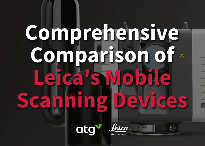
When it comes to choosing a laser scanner, it is vital to have a deep understanding of the specific use cases and applications for each scanner. In this whitepaper, you’ll find an extensive comparison of the Leica RTC360, the BLK360 G2, the BLK2GO, and the BLK360 PULSE. Download now to delve into real-life case studies, detailed specifications, insightful comparison charts, and more to make an informed decision.
Charity Hospital: One Million Square Feet + Over 14,000 Scans

Read about Charity Hospital, its significance to the NOLA community, its current state as an unused building, and how ATG helped created a detailed record for future plans to revitalize it into a multi-use facility.
How to Create a Civil 3D Terrain Surface from a LiDAR Point Cloud

With the advancement of UAV technology and LiDAR processing, you can transform your point cloud into an accurate ground surface in Civil 3D. Just combine the power of Civil 3D, Recap and InfraWorks to extract ground points, convert your data into terrain and create your surface.
LiDar Scanning to Revit
Discover how ATG’s workflows can solve common issues with managing LiDar scans and accelerate deliverables. See how we placed over 9,000 scans in Revit without computer crashes.
The Ultimate Deep Dive into BLK2GO
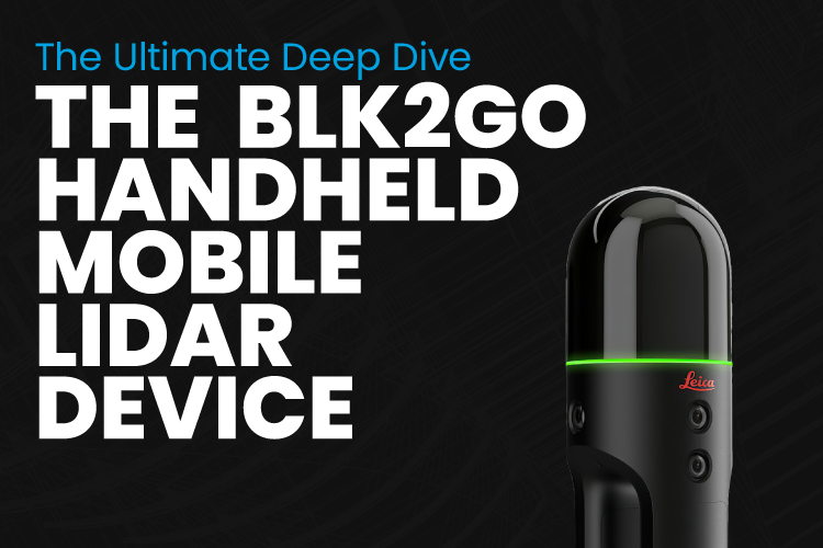
With its convenient carrying case, the BLK2GO makes packing and unloading a breeze. Whether you’re working indoors or outdoors, this innovative device effortlessly tackles indoor projects and vertical structures. It’s lightweight, user-friendly, and incredibly easy to store. Say goodbye to wasting time on scanning and hello to spending more time analyzing crucial data for your project’s next steps.
How Point Clouds Can Help Your Next Renovation Project
Renovations – they’re a pivotal part of the MEP industry, but they can also be a pain. When buildings don’t have previous blueprints or models, creating one can prove challenging and expensive.
Instead of taking multiple trips to the site or winging it based off of the photos and info you have on file, consider giving point cloud scanning a whirl.
