
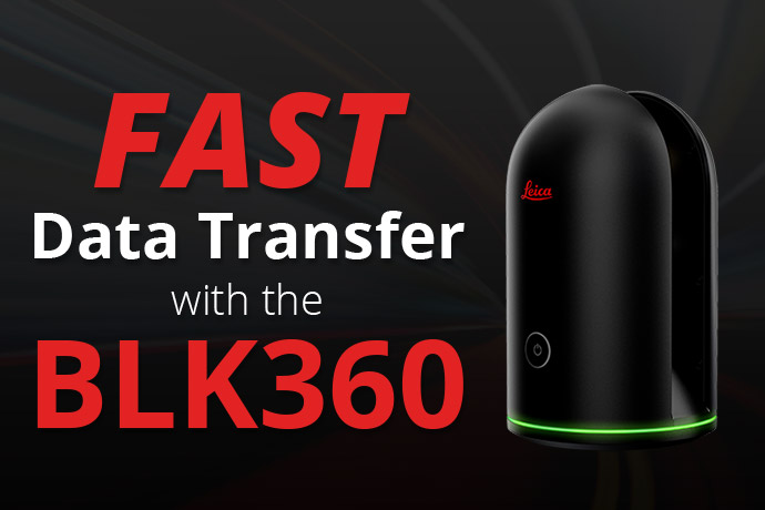
When using FIELD360 with the BLK360, the full raw scan and image data from the BLK360 is transferred to a tablet running FIELD360. In FIELD360, the data is organized into jobs, bundles and setups. This data can be enriched with pre-registration positions, links, tags and measurements. Since data is organized into jobs the field registration would have to be done in the office anyway, which would save a lot of time if transferred from FIELD360 to REGISTER360 in the office.
Hardline connect Cyclone Field 360 from your tablet to Register 360 on your desktop computer.
The data transfer from Cyclone FIELD360 to Cyclone REGISTER360 relies on the both the tablet running FIELD360 and the PC running REGISTER360 in the same network. This can be achieved in many ways, a few of which (but not all) are shown below. All of these options work for both Android and iOS tablets.
The most common method is to connect the PC AND the tablet to the same network using a Wi-Fi access point. The access point could be:
- Company Wi-Fi that also provides internet.
- A personal hotspot of a mobile phone (no internet connection necessary)
- The Fastest data transfer yet! An external router (no internet connection necessary).

Supplies List
- Adapter: USB-C/Lightning (or whichever port is located on your tablet) to ethernet
- 2 ethernet cords: 1 from tablet to router, 1 from router to PC
- Router: even with my old router and ethernet cords, the transfer speed is exponentially faster than Wi-Fi. An updated router and ethernet cords could increase transfer speed even more.
- Data collection tablet
- PC with ethernet port

Getting Started
- Connect the tablet via a USB-C/lightning-to-ethernet-adapter and an ethernet cable directly to the router’s “out” plug, then connect an additional ethernet cord to another “out” plug and connect the other side to your PC.
- Turn off wi-fi on your PC via your network settings to confirm an ethernet connection has been established.
- Initiate sync server by touching the “i” symbol on the top right of Field 360 app. This will provide you with an IP address and port number.
- Open register 360 to create a new project and click on the tablet icon under the import options. There you will enter in the IP address and port number stated on the tablet. Note: this does not always work the first time. Just try to connect again.
- Press test connection. If connection is secure, press add to project. Note: this will show all of the projects on your tablet. Uncheck the projects you do not want to import.

Enjoy the fastest importing you’ve seen yet! – About one minute per setup.
Note: Leica provides a network-based solution to transfer data between FIELD360 on a tablet to REGISTER360 on a PC. As shown above, there are many ways to bring both devices in one network, and since we have no way of controlling how customer’s networks are set up, we do not communicate or promise any transfer speed information. If one option works slowly for a customer, we can suggest trying one of the other options, but we never guarantee that this will make the transfer faster since we cannot control all components of the transfer.
Please also keep in mind: the import button in REGISTER360 does more than just transfer the data from the tablet. In this step, the data is transferred from the tablet then processed, filtered and registered. As a result, slow PC hardware components could look (to the user) like slow transfer speed from the tablet.
Behind the Blog: Meet David McQuillan

David has over 9 years of experience in the survey and mapping industry and has a genuine passion for turning reality into a digital playground. His father being a custom home architect, David grew up around construction and drawings – greatly appreciating the practice of mixing both creativity and logic. He has a Master’s in Geographic Information Systems as well as other undergraduate degrees. He has been using UAV and LiDAR technologies since 2014.
David started working as a field asset data collector. Within a year he had developed that role into establishing a GIS department, an integral part of the company’s operations. From using drones to survey large mines to LiDAR scanning hundreds of miles of assets. David has performed reality capture services all over the country. Successfully collecting, processing, manipulating, and exporting the desired project deliverables.
Reality Capture Services and Resources
Stay Connected
Follow ATG for 24/7 access to top-notch technical content:
Have questions? Don’t hesitate to reach out!
- Contact us
- Call 1.800.935.4894
 Contact Us